FOCUS | Joanna Charton
Postdoctoral researcher in glacial geomorphology and geochemistry at the Lamont-Doherty Earth Observatory
A former doctoral student at CEREGE, she specialises in the study of past palaeo-glaciers to better understand their evolution and their interaction with climate in the past, present and future. Her atypical career path, which began with literary studies, has led her to explore the natural archives of glacial environments, from the Alps to Kerguelen, via the Great Caucasus and now Greenland.
An unusual career path: nothing predestined her to study glaciers!
My relationship with climate science and glacial geomorphology - if I may say so - has not really been a direct one. A few years ago, I discovered the work of Claude Lorius, who played a major role in the discovery of fossil air bubbles trapped in Antarctic ice cores. Although it may sound cliché, this discovery deeply inspired me and motivated me to work in this field. From that moment on, I knew that I wanted, in my own small way, to contribute to tracing the history of glaciers and climate. My only problem at the time - and it was a big one - was that I was studying for a double degree in History and Geography at Panthéon Sorbonne (Paris I), with only a literary baccalauréat and a hypokhâgne in my pocket. In short, I had a literary background and had put aside the fundamental scientific disciplines early on in my school career.
Determined to change my career path, I contacted Vincent JomelliCNRS researcher at CEREGE specialising in glacial geomorphology, and landed my first research placement studying Greenland's palaeo-glaciers. These initial investigations piqued my interest and led me to delve deeper into the question of cosmogenic dating. In this vein, I was soon co-supervised by Irene Schimmelpfenniga CNRS research fellow at CEREGE, for the geochemistry part. Thanks to their invaluable help, as well as to my hard work and determination, I was able to join the amU Master STPEI then obtained a ministerial grant to carry out a thesis at the CEREGE. CEREGE's Climate team under their supervision. My time at CEREGE was therefore decisive in my academic career, and taught me a great deal at both analytical and scientific levels.
Why study glaciers of the past?
The main aim of my research is to retrace the evolution of glaciers over time scales of hundreds and thousands of years in order to understand their past history and their relationship with the climate, in an environment that was not influenced by human activity. Understanding this evolution is vital today, particularly for assessing the current retreat of glaciers and the link with climate change. Studying the interactions between glaciers and climate provides us with valuable keys to understanding current changes and anticipating future developments.
So, to explore glaciers in the past, we are interested in the traces left in the landscape by their passage: the glacial geological archive. Glaciers are powerful erosive agents: as they flow, they tear off pieces of rock from their beds and carry them away. When they retreat, these rocks are left behind in the landscape in the form of rocky debris known as moraines, or isolated, scattered blocks known as erratic boulders. Our role as geomorphologists is to decipher this landscape in order to understand the geomorphological processes behind these formations over time.
Boulders transported by glaciers can then be dated using the cosmogenic isotopes produced in the rock. The concentration of cosmogenic isotopes is proportional to the time the rock is exposed to cosmic radiation after deglaciation. So, by measuring the concentration of cosmogenic isotopes on the surface of rocks, we can obtain information about when the glacier began to retreat.
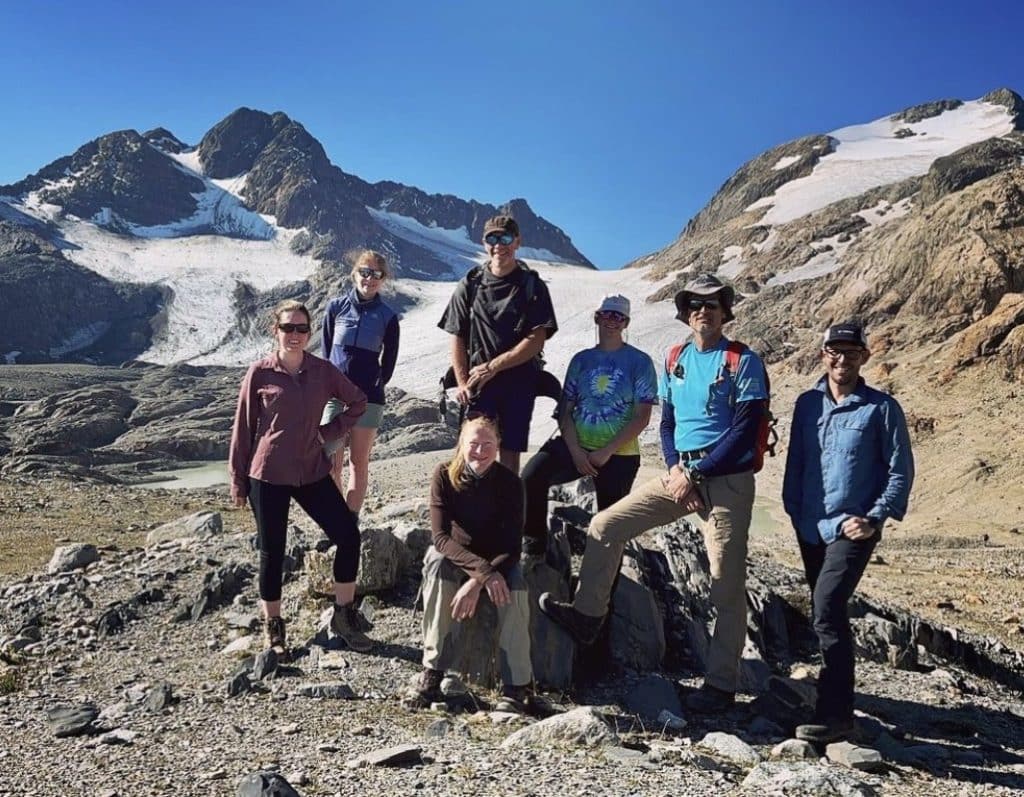
Franco-South African team on a field mission in the French Alps at the St Sorlin glacier site
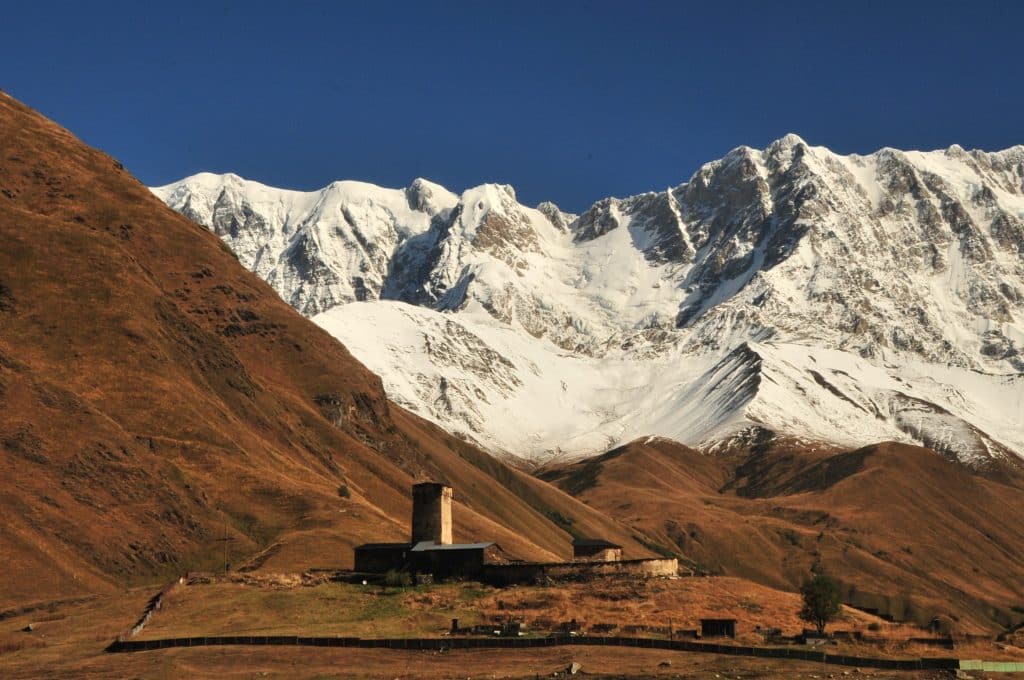
Valley of the Shkhara glacier, Georgia (©Vincent Jomelli)
Field and laboratory work in glacial geomorphology
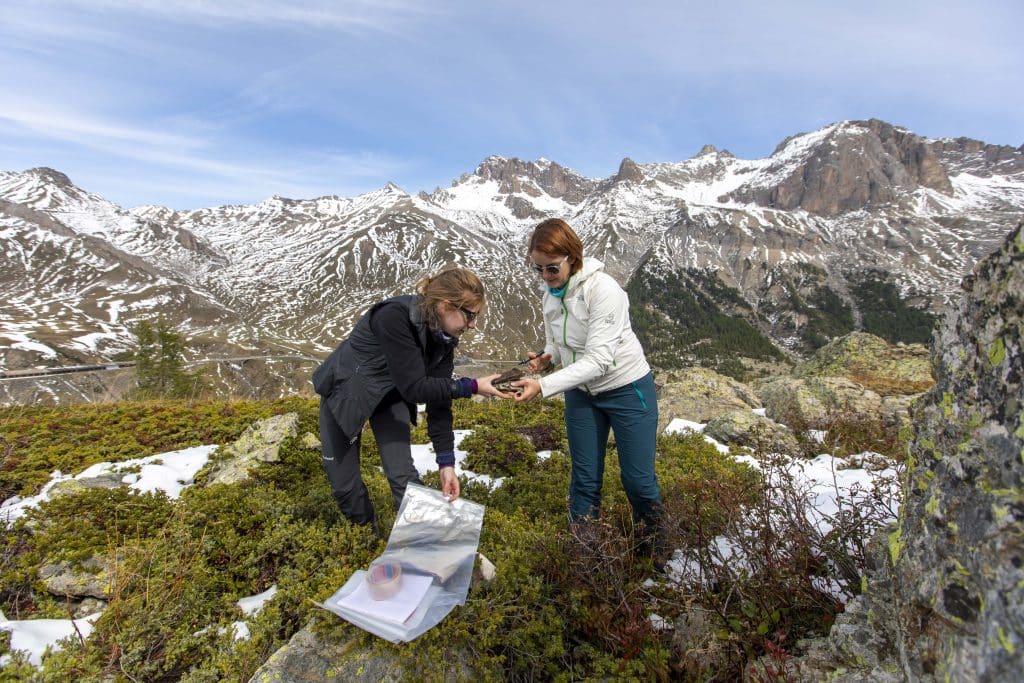
To measure the concentration of cosmogenic isotopes, you first have to go out into the field to collect surface rock samples from glacial morphologies (such as moraine blocks, erratic blocks and boulders). During my thesis at CEREGE, the COVID-19 pandemic prevented me from taking part in a mission to the Kerguelen Archipelago. However, I did have the opportunity to do some fieldwork in the French Alps (see for example Charton et al, 2021) and to carry out four missions in the Greater Caucasus, mainly in Russia and Georgia, as part of the International "Deglaciation in the Greater Caucasus" projectled by the CNRS (PI: Vincent Jomelli). With peaks over 5,000 metres high, the Greater Caucasus is a sparsely urbanised mountainous region, making it an ideal terrain for geomorphologists. As well as the scientific analysis of the evolution of glaciers in these vast territories, this is a human experience: we often stay with local people or in tents at the foot of the glaciers, where we interact with local communities and meet shepherds on horseback. On the margins of the glaciers we study, we take kilos of rock samples, which we then take back to France in our suitcases. Once the samples arrive at CEREGE, they are crushed and then completely dissolved in acids in LN's dedicated laboratories.2C (Laboratoire National des Nucléides Cosmogéniques) to extract the cosmogenic isotope of our choice. The concentration of cosmogenic nuclides is then measured on the accelerator mass spectrometer and by the ASTER team.
The Kerguelen Archipelago: a checkpoint in the Southern Ocean
My thesis research focused mainly on reconstructing the chronology of glaciers in the Kerguelen Archipelago (49°S, 69°E) and understanding the associated palaeoclimates over the last 40,000 years using cosmogenic nuclides. This research is part of the ANR MARGO projectsLes Envahisseurs (LabEx Dynamite) and LEFE Glacepreker. Located in the southern Indian Ocean, this French territory is a unique observatory for studying the evolution of glaciers, as it is one of the few areas to contain numerous glacial morphologies dating back to ancient times. Interestingly, the archipelago is also home to the Ampère glacier, France's largest glacier. The results of my research, presented at my thesis defence on 7 May 2024, highlighted several original points:
- The maximum extension of glaciers on the archipelago took place ~42,000 years ago during the Marine Isotope Stage 3 (60,000 - 26,500 years ago). This extension was greater than during the Last Glacial Maximum (26,500 - 19,000 years ago), whereas palaeoclimatic reconstructions, particularly those of temperatures, show conditions that were not very favourable for glacial advances at ~42,000 years ago. We therefore hypothesise that higher levels of precipitation played a major role in this advance. These results were published in the journal Quaternary Science Reviews (Charton et al, 2024 in preparation).
- During the Holocene period (11700 years ago - present), our research shows that the glaciers of the Kerguelen archipelago evolved in an original way compared with other mid-latitude regions of the Southern Hemisphere (such as New Zealand and Patagonia). The Kerguelen glaciers were smaller for much of the Holocene, then reached their last glacial peaks at the end of this period (~2600 years ago, ~1000 years ago, ~430 years ago and ~300 years ago). We attribute these advances to a more northerly location of the polar front, which brought colder ocean surface waters to the latitude of the archipelago (Charton et al, 2022). In addition, our work shows that glaciers covered with rock debris had distinct dynamics from white glaciers at the end of the Holocene, because this debris cover altered their flow behaviour (Charton et al, 2020). In addition, sedimentological work by our team in a fjord on the Kerguelen Islands confirms that these glaciers were once smaller than they are today (Chassiot et al, 2024).
- And finally.., a study directed by Deborah Verfailliewhich I co-authored, used a glaciological model constrained by our cosmogenic dating to show that the Cook ice cap on the archipelago will disappear completely by 2100 (Verfaillie et al., 2021). In addition to the major ecological consequences for endemic species, the melting of the glaciers will also affect the phytoplankton bloom in the Southern Ocean, fed by glacial flour from erosion, which plays a key role in the oceanic carbon pump.
My thesis work finally enabled me to gain a better understanding of the variations in the Kerguelen glaciers and their uniqueness in the Southern Hemisphere.
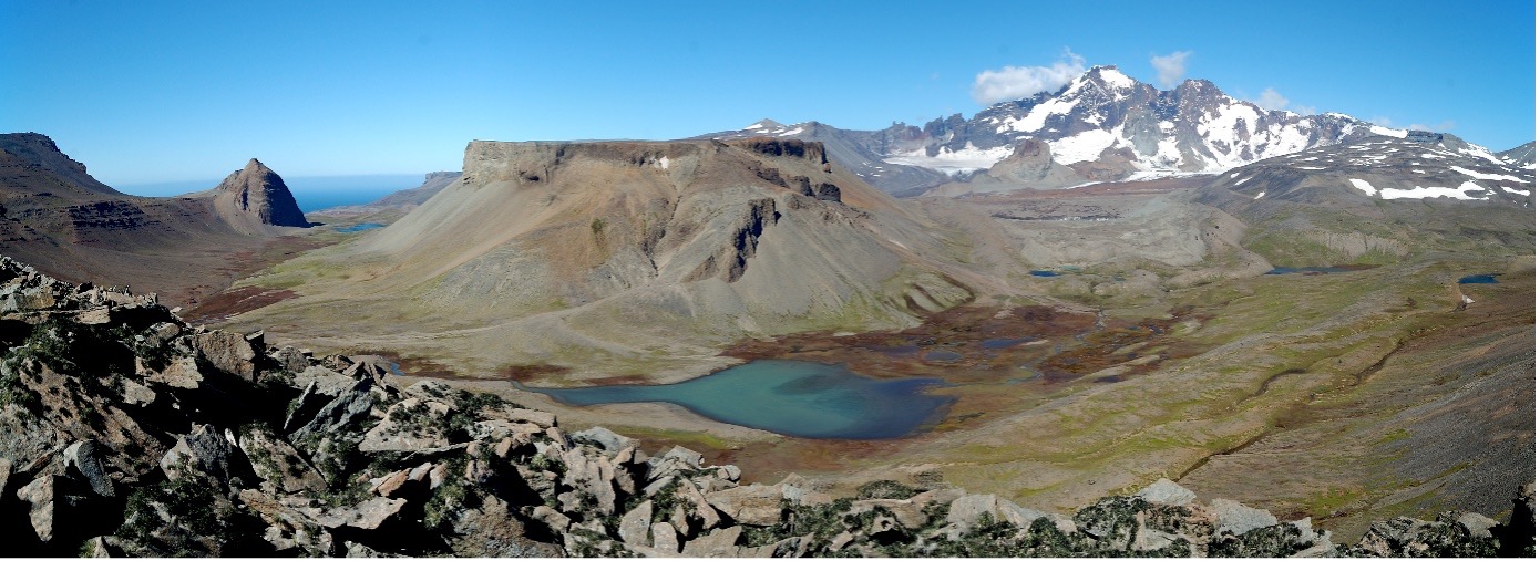
Gentil Glacier Valley, Kerguelen Archipelago (©Adrien Gilbert)
And now what?
After that, I joined the Lamont-Doherty Earth Observatory at Columbia University in New York for a post-doctorate in the cosmogenic nuclides research group led by Joerg Schaefer. My aim is to help retrace the history of the deglaciation of the Greenland ice cap by measuring the concentrations of cosmogenic isotopes, both commonly used (36Cl, 10Be, 26Al) and emerging (41Ca) in rock cores and sediments taken from beneath the ice cap. In particular, I'm working on the rock core drilled in 1993 under the GISP2 ice core more than 3 km deep in central Greenland, as well as on the sub-glacial sediments from the Camp CenturyThese unique samples, forgotten for decades in freezers in Denmark, were recently rediscovered, paving the way for new analyses. These unique samples, forgotten for decades in freezers in Denmark, were recently rediscovered, paving the way for new analyses.
In particular, I'm helping to develop a new approach, which involves combining chlorine-36 with beryllium-10 and aluminium-26 for the first time. This will enable us to determine the burial age of these subglacial materials, i.e. to date when, in the past, Greenland was almost entirely deglaciated and then covered again by the ice cap. For example, a study published in Nature (Schaefer et al, 2016) has shown that Greenland has been almost entirely deglaciated at least once in the last 1.1 million years. However, the pair of isotopes used in this study (26Al/10Be) cannot accurately detect burial periods of less than 500,000 years, during which the cap would have covered the bedrock. By using chlorine-36 and calcium-41, which have shorter half-lives (~300,000 years and ~99,000 years, respectively) allowing better resolution, we hope to refine this scenario and, potentially, identify phases of Greenland deglaciation during ancient 'super-interglacials' (particularly warmer and/or longer periods), such as Marine Isotope Stage 11 (424,000 - 374,000 years ago), Marine Isotope Stage 9 (337,000 - 300,000 years ago) and Marine Isotope Stage 5/Emian (130,000 - 115,000 years ago). These results will be crucial, as they will enable us to determine how the ice cap reacted to past warming, to identify the specific areas of the ice cap that contributed to the first rises in sea level and to determine the time scales of these changes. The aim is to provide new data to refine future projections of the behaviour of the Greenland ice sheet. This research is part of the GreenDrill projectfunded by the US NSF.


