Geomodelling
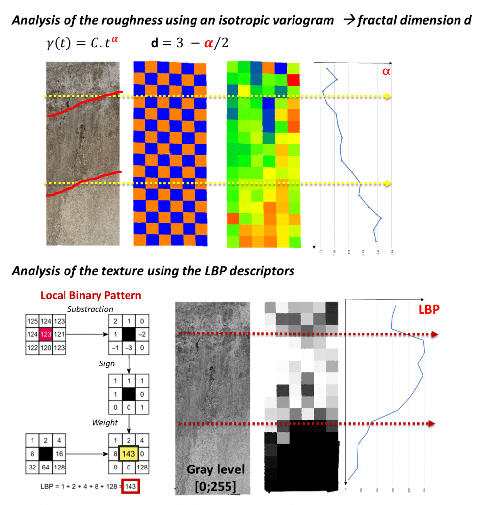
The 3D/4D geomodelling laboratory contributes to the development of innovative methods for the analysis and 3D/4D modelling of geological structures and for the extraction of information from digital field data (DEMs or DOMs).
The laboratory relies on the use of interpretation and modelling software commercial (Gocad/Skua -Emerson-, KingdomSuite -IHS-, DionisosFlow -Beciep-etc.), shareware (virtuoso -IFPEN-, TOUGH -LBNLSVS -Shell) and open-source (CloudCompare). In addition, the laboratory develops its own specific codes, in different languages (Python, C++, Java, etc.), which correspond to stand-alone software or modules associated with a commercial software suite (Gocad/Skua) or open-source (CloudCompare).
Recently, the laboratory embarked on a virtual reality (VR) project: the Virtuafield project, developed by VR2Planets. This software proposes to train students in field practice through virtual reality. VR developments have also been carried out by the 3D/4D geomodelling laboratory and the MIO for the simulation of bioluminescent organisms and the launch of the Bathybot mission.
The 3D/4D geomodelling laboratory works in collaboration with other OSU Pytheas laboratories such as the LAM (Laboratoire d'Astrophysique de Marseille) and the MIO (Laboratoire d'Océanologie de la Méditerranée). It is also in close collaboration with the SIP (Service Informatique Pytheas) of the OSU Pytheas, notably for the Virtuafield project.

Teaching
. M1 Module - S1 - LSTAU05C-ST17 - Geospatial Data Processing
. M1 Module - S2 - LSTBU02-ST25 - Data processing in geosciences
. Module M2 - S3 - LSTCU01 - APP3 -
. Reservoir modelling
. Module M2 - S3 - LSTCU01 - APP - 3D Seismic
. Module M2 - S3 - LSTCU15 - SH32 - Numerical methods and geostatistics
. Module M2 - S3 - LSTCU01 - APP - Carbonate Systems
. Module M2 - S3 - LSTCU01 - APP - Active tectonics and seismic hazard

